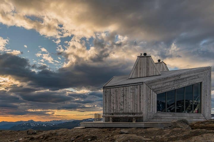
Marsfjällen Nature Reserve Adventures
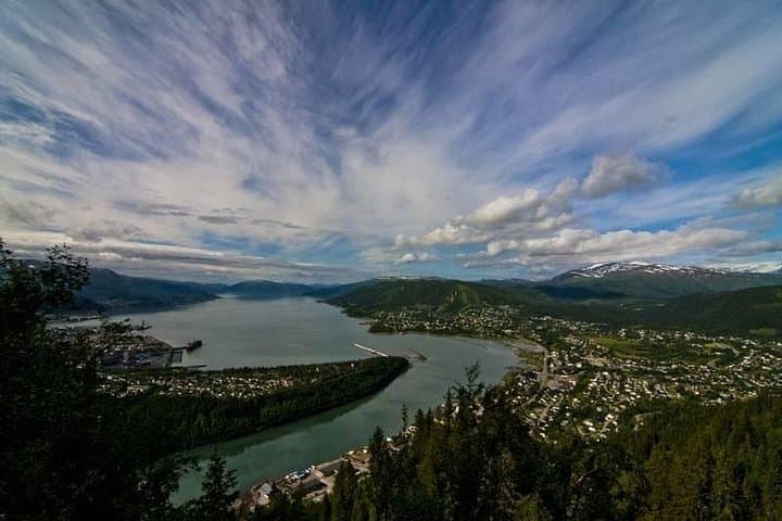
Marsfjällen Nature Reserve in Sweden offers striking landscapes, including rugged mountains, dense forests, and pristine river valleys, ideal for outdoor enthusiasts.
Popular Activities
Plan Your Visit
Everything you need to know to prepare for an unforgettable trip to Marsfjällen Nature Reserve.
Entrance Requirements
Free access
Best Time to Visit
Late June to September for optimal hiking and wildlife viewing conditions
Visitor Information
No designated visitor center; check local information points in nearby towns
Getting There
Accessible via roads from Vilhelmina and Klimpfjäll; some roads may be seasonal.
Weather & Climate
Marsfjällen experiences cool summers with temperatures ranging from 50-70°F. Winters are long, with temperatures often below freezing and significant snowfall.
Conservation Efforts
Climate change poses a threat to the habitats of Arctic species like the Arctic fox. Conservation efforts are in place to preserve the natural and cultural heritage of the area.
Camping in Marsfjällen Nature Reserve
Find the perfect spot to stay overnight and immerse yourself in the details.
Klimpfjäll Campground
Located near the village of Klimpfjäll, offering basic amenities and easy access to trails.
Backcountry Campsites
Dispersed campsites available throughout the reserve for a more secluded experience.
Top Trails
Marsfjället Trail
A challenging hike to the summit of Marsfjället, rewarding hikers with sweeping views.
Kungsleden Trail
Part of the famous long-distance trail, offering a varied landscape of mountains and forests.
Rissjön Loop
A scenic loop around Rissjön Lake, ideal for wildlife spotting and photography.
Sámi Culture Trail
Explore the cultural and historical sites used by the Sámi people.
Trailblazer Tips
Bring proper gear for changing weather; conditions can vary rapidly.
Summer months offer the most accessible conditions; consider visiting in early fall for fewer visitors.
Plan logistics ahead, as nearby services and accommodations are limited.
Use detailed maps for navigation, as some areas have limited signage.